Contours
What are contours?
A contour line joins points of equal elevation above a given level, such as mean sea level. A contour map illustrated with contour lines for example a topographic map, which this shows valleys and hills, and the steepness of slopes, meaning if you physically followed a contour line, elevation would remain constant. The closer together contour lines are the steeper the land is and the further away they are the less steep it is.
Example below of contours on an OS map.
We are using contour lines in our wetland project to see where the wetland gets higher and lower. By doing this we will be able to tell where the water will go next and we can add on to the grid in the right places.
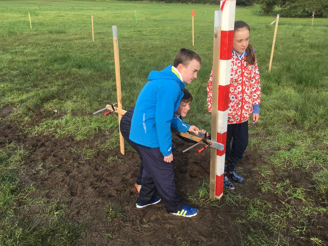
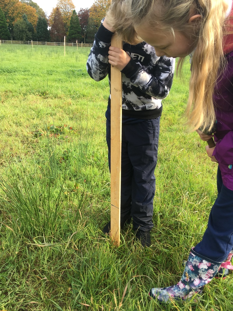
How we found the contour lines in the Bishop’s Field for our wetland project.
Today (19/10/16) we went outside to the wetland. We brought some stakes, a hammer, a laser, a spirit level and a couple of clamps and got to work. We stuck 2 stakes into the ground and 1 stake perpendicular to those 60 cm above the bottom of them. We put a laser on top of the horizontal stake. We used another stake facing the laser and kept bringing it backwards until the laser met the 30 cm line on the stake. We did the same thing in all directions, North, North-East, East, South-East South, South-West, West and North-West.
|
|
Contours seemed quite confusing when we saw them first in class, but now as we see how they work in the wetland we understand them better.
Liam O'Connell
Heaney 6th Class
Liam O'Connell
Heaney 6th Class